
Stepping Stones: How Small City Patches Become Wildlife Corridors
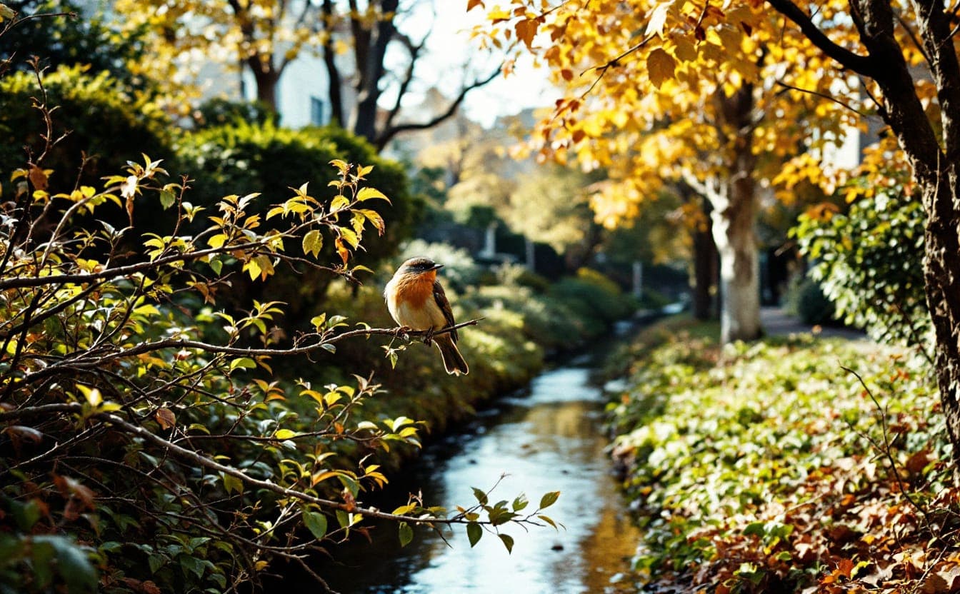
A migrating warbler flying over a city at night in early November doesn't see neighborhoods or property lines. When it drops down at dawn, it needs somewhere with insects to eat, cover from hawks and a little water, and it needs to find the next such place before it runs out of fuel. A creek lined with willows, three backyards with oaks, a cemetery with old trees: to that bird, those are a single chain of rest stops. A block of lawn and pavement is a gap.
Conservation biologists call places like this stepping-stone habitat, and they have become one of the most practical ideas in urban conservation. Big parks matter. But most of a city's green space is in small, scattered pieces that nobody manages together, and whether those pieces work for wildlife depends mostly on whether they are close enough to connect.
Connection depends on who's moving
A corridor is not one thing. It depends on the animal.
Many native bees are small and fly short distances between their nests and the flowers they feed on, so for them a corridor might be a row of front yards with something blooming from spring to fall. Songbirds can cross wider gaps but need dense cover and insects when they land. Chipmunks and other small mammals, along with salamanders and turtles, need continuous ground cover, safe road crossings and ways under or through fences.
That means a city full of small green patches can work well for some animals and poorly for others. The goal is to close the gaps that matter most to the most species, and the best way to understand them is to walk the chain.
A walk along the chain
Picture a mile of an older city neighborhood, the kind found in most American metro areas: a creek in a concrete channel, a rail line, a school, a cemetery, and blocks of houses with small yards. Here is what each piece can contribute.
The yard and the strip by the curb
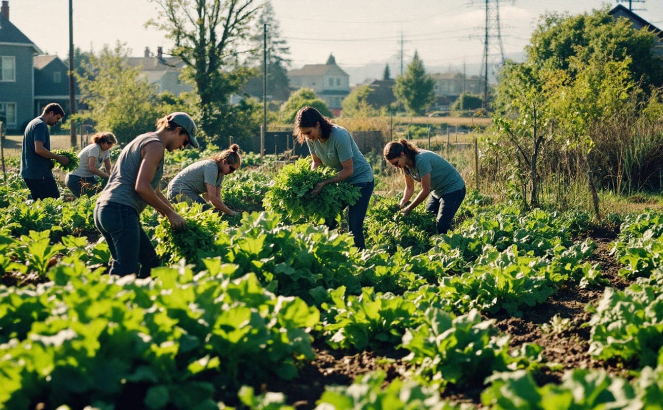
Yards make up a large share of the green space in many cities, and almost all of it is privately managed. Entomologist Doug Tallamy's research at the University of Delaware has shown that a small number of native plant genera, including oaks, cherries and willows, support a large share of the caterpillar species that songbirds feed their young. A related study he co-authored with Desirée Narango and Peter Marra, published in 2018 in the Proceedings of the National Academy of Sciences, found that Carolina chickadees in Washington, D.C., area yards struggled to raise enough young where nonnative plants dominated.
The practical lesson: one native tree and a few shrubs in each yard add up. Leaving fallen leaves under shrubs gives overwintering insects and their predators a place to live. Tallamy's Homegrown National Park project encourages people to think of their yards as one big shared reserve, which is a good way to think about a block.
Don't overlook the strip of ground between the sidewalk and the street. It is hot, dry and trampled, and it is also continuous for whole blocks. Tough native grasses and low flowering plants can survive there. Check city rules first: many limit plant height near corners so drivers can see pedestrians, and some require a permit for anything other than grass.
The schoolground
Schools are found in nearly every neighborhood, and many have more land than the houses around them, much of it mowed grass or asphalt. A native planting along the fence line, a small rain garden or a stand of trees turns a school into a stepping stone that also serves as an outdoor classroom.
Two things make schoolground habitat last: a plan for summer, when staff and students are gone and plantings die without water, and a partner, such as a parent group, a local native plant society or a parks department, who shares the work.
The rail edge and the power line
Railroad and utility rights-of-way run unbroken for miles, which makes them natural corridors. Many are already used by foxes, coyotes and birds. Some utilities manage the land under power lines for low-growing native plants instead of repeated mowing, which can turn a cleared strip into meadow habitat. Neighbors can ask their utility about its vegetation management practices. Don't trespass on active rail lines to find out what lives there.
The creek
City creeks have often been straightened, lined with concrete or buried in pipes. Even so, a creek that still flows in the open is usually the most important corridor in a neighborhood, because it carries water and links places upstream and down. A planted buffer of native trees and shrubs along the banks shades the water, slows runoff, filters pollution and gives animals cover as they move.
Some cities have "daylighted" creeks, removing them from pipes and restoring an open channel. Those projects are expensive, and they need the kind of community planning our piece on green gentrification describes, since new creekside parks can raise housing costs nearby.
The cemetery
Older cemeteries are often some of the best wildlife habitat in a city: big old trees, low foot traffic and little disturbance. Mount Auburn Cemetery in Cambridge, Massachusetts, founded in 1831 as a garden cemetery, is well known among birders as a spring migration hotspot. Smaller cemeteries can play the same role on a smaller scale. They are first of all places of mourning and memory, though, so any habitat work there should follow the wishes of the families and communities who care for the graves.
The breaks in the chain
Gaps between patches are not only about distance. A few common hazards break corridors that look connected on a map.
- Light. Most songbirds migrate at night, and artificial light can pull them into cities and toward buildings. Many cities now have "Lights Out" programs, often led by local Audubon chapters, asking building owners to dim lights during migration seasons.
- Glass. Birds don't see reflective or transparent glass as a barrier. Window films, external screens and patterned glass help, and some cities have adopted bird-friendly building standards.
- Roads. Busy roads are lethal for turtles, amphibians and small mammals. Culverts, crossing structures and seasonal road closures help in key spots.
- Pesticides and constant mowing. Both remove the insects that birds and other wildlife depend on.
- Fences. Solid fences to the ground block small mammals. A small gap at the base lets them through.
- Outdoor cats. Cats kill large numbers of birds and small animals. Keeping pet cats indoors or in enclosed outdoor spaces is one of the simplest things a household can do.
What neighbors and cities can do
Neighbors can start with a block. Map what's there, from trees to yards to vacant lots, and look for gaps. Plant natives, especially trees and shrubs, and coordinate with the people next door so plantings link up. Ask the school, the cemetery and the congregation down the street whether they'd host a planting. Keep a record of what shows up. Free apps such as iNaturalist let anyone log photos of plants, insects and birds, and a few seasons of observations from one block can show a parks department or council member what a corridor is already doing.
Cities have bigger tools:
- Map the network. Combine tree canopy, park and land-use data to find the gaps between the best patches.
- Update weed and landscaping ordinances so native meadow plantings aren't cited as overgrown lawns.
- Change public land practices. Mow park edges and road medians less, leave leaves where they don't create hazards, and use native plants in street projects.
- Protect creek buffers in zoning, and buy creekside land when it comes up for sale.
- Fund schoolyard greening, including the maintenance after planting.
- Adopt lighting and bird-safe glass standards for new buildings.
Who gets the green
There is one more gap to consider. In many American cities, the neighborhoods with the most tree cover and habitat are wealthier and whiter, and the neighborhoods with the least are those that were redlined in the 1930s. Our story on urban heat and tree canopy traces that history. A corridor plan that plants only where it's easiest will widen that gap.
The better approach is to start where canopy is thinnest, hire locally, pay for maintenance, and ask residents what they want from green space before deciding for them. Land trusts are increasingly doing this kind of work in cities, as our piece on community conservation explains. The Xerces Society, whose website has free guides on pollinator habitat, is a good starting point for plant lists suited to your region.
Small patches don't replace large protected areas. In a city, though, they are most of what there is. Start with the gap you can see from your own front step, and then find out who owns the next one.
Partner links may earn us a commission.
Pack list for a field day
- Muck Boot waterproof bootsPull-on rubber and neoprene boots for flooded trails, wetlands and muddy garden days.Shop at Muck Boot
Next: browse the full Pack list.