
Transit to Trails: How a Bus Ride Changes Who Reaches Public Land
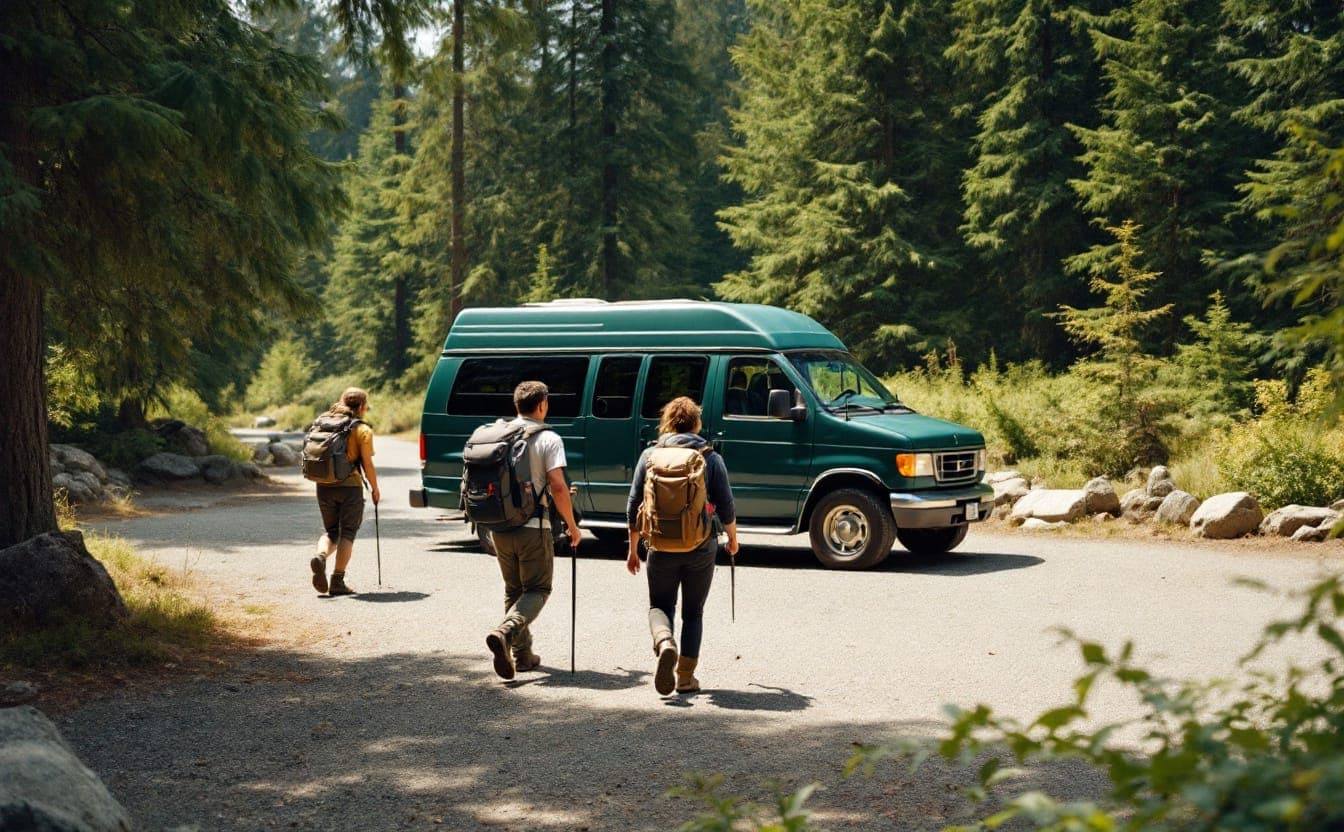
For most of the year, visitors to Zion National Park in southern Utah cannot drive their own cars up Zion Canyon Scenic Drive. Since 2000, when the park introduced its shuttle system, the road has been reserved for buses during the busy months, and people reach trailheads like the Grotto and the Temple of Sinawava by riding one. A second shuttle line loops through the neighboring town of Springdale, so a visitor staying in town can leave the car at the hotel for the whole trip.
Zion's shuttle was built to solve congestion, and it did. It also shows something easy to miss: when a bus becomes the normal way into a place, the question of who owns a car stops mattering inside the park. The harder problem is getting people to the park, or to the forest or the regional preserve, in the first place. That is what transit-to-trails programs try to fix.
The car is the real entry ticket
Most American public land is designed around the private vehicle. Trailheads are parking lots. Fees are often charged per car. Directions assume a highway exit. Many state parks and national forests sit an hour or more from the nearest city, on roads with no sidewalks or shoulders, and with no public transit at all.
That design filters who shows up. The Census Bureau's American Community Survey has found for years that a bit under one in ten US households has no vehicle available. The share is far higher in large cities, among low-income households, and among Black households. Then there are the households that technically own a car but can't spare it: one vehicle shared between two working adults, a car too unreliable for mountain roads, a parent working weekend shifts. Add young people who can't drive yet, older adults who have stopped driving, and many people with disabilities, and a meaningful part of every region's population is effectively locked out of land that belongs to all of them.
Car dependence also stacks on top of the other barriers. Cost rises with gas and parking. Information about destinations tends to be written for drivers. And the people who do arrive by car tend to share a profile, which can make a trailhead feel unwelcoming to anyone who doesn't fit it.
How transit-to-trails programs work
Programs come in many shapes, but most fall into three broad models. Real projects often mix them.
Shuttles inside or around a park
These run where visitors already gather: from a visitor center, gateway town or remote parking area to the trailheads. Zion is the best-known example. Acadia National Park in Maine has run a fare-free shuttle network, the Island Explorer, since 1999, connecting villages, campgrounds and trailheads on Mount Desert Island, with long-running financial support from the outdoor retailer L.L.Bean. In-park shuttles mainly ease crowding and parking. They help access when they connect to something farther out, such as an intercity bus or a train station.
Transit lines extended to trailheads
Here a public transit agency adds a route, a seasonal stop or a weekend extension that reaches natural areas from city neighborhoods. The clearest recent example is Trailhead Direct in the Seattle area. King County Metro launched it as a pilot in 2017, running weekend and holiday buses in summer from city transit hubs to trailheads in the Issaquah Alps and along the I-90 corridor, with county parks as a partner. Routes and schedules have changed over the seasons, but the core idea has stayed the same: treat a trailhead as a transit destination, like a stadium or a beach.
Rail can do the same job. On weekends, Metro-North commuter trains in New York stop at Breakneck Ridge in the Hudson Highlands and at a small platform where the Appalachian Trail crosses the Harlem Line, giving city residents a car-free path to two well-known hikes. In California, the Yosemite Area Regional Transportation System runs buses into Yosemite Valley year-round from Merced, where riders can connect from Amtrak, with seasonal routes from other gateway towns. In Oregon, the state transportation department started a bus in the mid-2010s from the Portland area to Multnomah Falls in the Columbia River Gorge, largely to ease the crush of cars at the falls.
Partnerships with outdoor groups
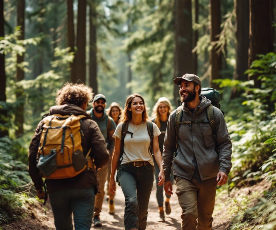
The third model is less about buses and more about people. A community group, youth program or outdoor club pairs transit with guidance: chartered vans for a monthly hike, transit passes plus a trip leader who meets the group at the station, or a published list of walks that start and end at a bus stop. Groups profiled on our organizations page often do this informally, because their members can't count on having a car. When an agency's new route launches alongside a group like this, ridership tends to come faster, since the group brings first-time riders who trust the leader more than the timetable.
Before you go
 Adventure Medical Kits Ultralight/Watertight .5$31.95 Amazon price, as of Oct 22, 2026, 4:27 PM UTCSee on Amazon
 TrailBuddy aluminum trekking poles$39.91 Amazon price, as of Oct 22, 2026, 4:26 PM UTCSee on Amazon
 Columbia Watertight II rain jacket (men's)$70.00 Amazon price, as of Oct 22, 2026, 4:26 PM UTCSee on Amazon
Product prices and availability are accurate as of the date/time indicated and are subject to change.
Gear links may earn us a commission. As an Amazon Associate I earn from qualifying purchases.
What it costs, and who pays
There is no single price, but the cost categories are predictable.
Operating costs are the largest piece: driver hours, vehicles, fuel or electricity, maintenance, supervision and insurance. Transit agencies know their cost per revenue hour of bus service, and they report the underlying figures each year to the federal National Transit Database, so a first estimate is simple arithmetic. Multiply the number of buses by the hours each runs per day and by the number of service days in the season, then by the agency's hourly cost.
Capital and site costs are easy to underestimate. A trailhead stop may need a safe pull-out or turnaround, a shelter, lighting, signs, a restroom that stays open when the buses do, and sometimes a short connecting path so riders don't walk along a highway shoulder.
Outreach costs decide whether anyone rides. Translated materials, presence at community events, partnerships with schools and groups, and trip planning that answers practical questions (which stop, how long the hike is, when the last bus leaves) all cost staff time.
Evaluation costs are usually forgotten until a funder asks for results. Rider surveys and counts are cheap compared with the service itself, but they have to be budgeted from the start.
Funding typically comes from several sources at once: the transit agency, the park or land agency, a county or city, a state transportation department, foundations, and sometimes private sponsors, as with the Island Explorer. Federal transportation and park programs have historically filled some gaps. In 2025, with federal budgets cut and many grant programs reorganized or paused, it is wise to plan as if federal money is a bonus rather than a foundation.
Fares are a policy choice. Charging the regular local fare keeps the route inside the normal system and the normal transfer rules. Going fare-free removes a barrier and makes boarding faster at busy stops, but it means finding the money elsewhere. Either way, the fare is seldom the deciding factor on its own.
Measuring success
Ridership alone is a weak test. A route that fills with hikers from wealthy neighborhoods who would have driven anyway can look great on paper and do little for access. A more honest scorecard:
- Riders per trip and per service hour, to compare with other routes and seasons.
- Car access among riders. A short onboard survey can ask whether the rider had a car available for this trip. This is the single most telling number.
- Where riders come from. Home ZIP codes or nearest transit station show whether the route reaches the neighborhoods it was meant for.
- First-time visitors. Ask whether this is the rider's first visit to this place, or to any similar place.
- Who rides, using voluntary demographic questions that match the region's census categories, so you can compare riders with the population.
- Effects at the trailhead, such as fewer cars parked along roadsides, fewer turned-away drivers, and fewer close calls with pedestrians.
- Reliability and return trips. Count missed connections and anyone left waiting when the last bus is full. One bad experience at dusk can end someone's interest for good.
- Cost per new visitor, meaning total cost divided by the riders who say they could not, or would not, have come otherwise.
Programs that share these results openly help the whole field. Planners and advocates swap notes at the regional and national gatherings listed on our conferences page, and our overview of access initiatives collects other models worth studying.
Questions planners ask
Won't most riders be people who already have cars?
At first, probably many of them. That is not a failure: taking cars off crowded trailhead roads has its own value. But if the goal is access, outreach has to be aimed at the neighborhoods you want to serve, ideally through groups those residents already trust, and the route should start where those residents live, not at a suburban park-and-ride.
Where should the first route go?
Pick a destination with clear appeal, a range of trail lengths, restrooms and water, and decent cell coverage, within reasonable travel time of a dense neighborhood with low car ownership. A famous summit draws attention, but a gentler lake loop may serve families better.
How long should a pilot run?
Long enough for word to spread. One season is often too short, because the first weeks go to people discovering the service exists. Two or three seasons with steady schedules give a fairer read.
What about gear?
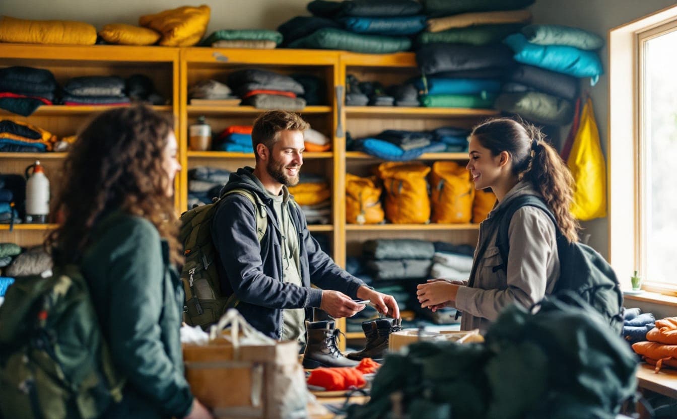
Pair the route with a gear library or with loaner kits at the transit hub: daypacks, rain shells, water bottles, kids' shoes. It costs little and removes one more reason to stay home.
Who should run it?
Usually the transit agency, because it already has drivers, vehicles and scheduling expertise. Land agencies and community groups do better as partners who shape the route, staff the trailhead and bring riders. Current details for the two best-known examples in this piece sit with their operators: King County for Trailhead Direct and the National Park Service for the Zion shuttle.
Gear links may earn us a commission. As an Amazon Associate I earn from qualifying purchases.
Pack list
- TrailBuddy aluminum trekking poles about 1.2 lb a pairLever-lock aluminum poles that take some load off the knees on the way down.$39.91 Amazon price, as of Oct 22, 2026, 4:26 PM UTCSee on Amazon
- Columbia Watertight II rain jacket (men's) about 8 ozA light waterproof shell that packs small; the layer that saves a cold, wet day.$70.00 Amazon price, as of Oct 22, 2026, 4:26 PM UTCSee on Amazon
- SKYSPER 20-liter daypack 20 LA light, packable 20-liter bag with bottle pockets; plenty for a day on the trail.$43.99 Amazon price, as of Oct 22, 2026, 4:26 PM UTCSee on Amazon
- Muck Boot waterproof bootsPull-on rubber and neoprene boots for flooded trails, wetlands and muddy garden days.Shop at Muck Boot
Product prices and availability are accurate as of the date/time indicated and are subject to change.
Next: try the Hiking Time Calculator or browse the full Pack list.