Park Access by ZIP Code: What the Nature Gap Measures, and What It Misses
In July 2020, the Center for American Progress and the Hispanic Access Foundation published a report with a plain title: The Nature Gap. Its headline finding fit in one sentence. Communities of color in the United States were about three times as likely as white communities to live in places the authors classed as nature-deprived, and low-income communities showed a similar disadvantage compared with wealthier ones. Few people who run after-school programs in dense neighborhoods, or who coach youth soccer on a field shared by six teams, were surprised. What the report did was put the pattern on a national map and give it a name that planners, funders and reporters still use.
The name is useful. It can also flatten a messy reality into a single number, so it is worth looking at what the measure counts, what sits alongside it, and what it leaves out.
Three terms worth getting straight
Nature-deprived. The Nature Gap analysis worked at the level of census tracts, the small areas the Census Bureau uses to report population data. Roughly, a tract counted as nature-deprived when more of its natural land had been converted to roads, buildings, farms and other human uses than in the typical tract in its state. It describes how much nature has been lost nearby. It is not a count of parks.
The 10-minute walk. Trust for Public Land uses a half-mile walk, about ten minutes on foot, as its benchmark for whether a home has a park close by. The walk is measured along real streets and paths, so a park on the far side of a freeway with no crossing does not count as close, even if it looks close on a map.
ParkScore. This is TPL's annual ranking of park systems in the 100 most populous US cities. It combines several factors: the share of residents within that 10-minute walk, how much of the city is parkland, how much the city spends, what amenities the parks offer, and, in recent editions, how fairly park space is distributed across neighborhoods by race and income.
These measures overlap, but they are not the same thing. A neighborhood can sit beside a large forest preserve and still lack an everyday park where kids can play after school. Another can have a pocket park every few blocks and almost no tree canopy or open land. Before quoting a statistic, check which of these it describes.
What a ZIP code hides
People often ask about park access "by ZIP code" because that is the geography everyone knows. It is a fine place to start and a poor place to stop. ZIP codes were drawn to deliver mail. They vary enormously in size and population, and they often straddle neighborhoods with little in common. An average across one ZIP code can make a place look well served when one corner has a regional park and the other has nothing but parking lots.
That is why the stronger analyses use census tracts, or the walkable area around each individual park. TPL draws a walking boundary around every park it maps and counts the people who live inside it. The result picks up gaps that a ZIP-level average smooths over: apartment complexes cut off by a rail line, subdivisions without sidewalks, blocks where the nearest green space is a fenced stormwater basin.
TPL's equity analyses have reported a consistent pattern over several years. In the cities it studies, neighborhoods where most residents are people of color, and low-income neighborhoods, have access to considerably less park space per person than whiter and wealthier ones. Their parks also tend to be smaller and busier. Our guide to landmark reports on environmental equity walks through The Nature Gap and related studies in more detail.
A simple exercise makes the point better than any dataset. Pick a ZIP code you know well and ask where, inside it, a ten-year-old could walk alone to a place with grass and shade. The honest answer is usually more uneven than the official figure.
Before you go
 Lepro rechargeable headlamp$18.99 Amazon price, as of Oct 22, 2026, 4:26 PM UTCSee on Amazon
 Adventure Medical Kits Ultralight/Watertight .5$31.95 Amazon price, as of Oct 22, 2026, 4:27 PM UTCSee on Amazon
 TrailBuddy aluminum trekking poles$39.91 Amazon price, as of Oct 22, 2026, 4:26 PM UTCSee on Amazon
Product prices and availability are accurate as of the date/time indicated and are subject to change.
Gear links may earn us a commission. As an Amazon Associate I earn from qualifying purchases.
Distance is the first barrier, not the only one
If every walking gap in the country closed tomorrow, plenty of people would still not use parks and public lands the way they would like to. Distance gets measured because it is easy to measure. The other barriers take more listening, and they matter more as the destination gets bigger and farther away.
Getting there
Large natural areas, such as state parks, national forests and wildlife refuges, are rarely on a bus line. A family without a car, or with one car that a parent needs for a weekend shift, is effectively shut out of most public land in the country. Even inside a city, the bus to a big regional park may run once an hour on Sundays, which turns a picnic into a logistics problem.
Cost
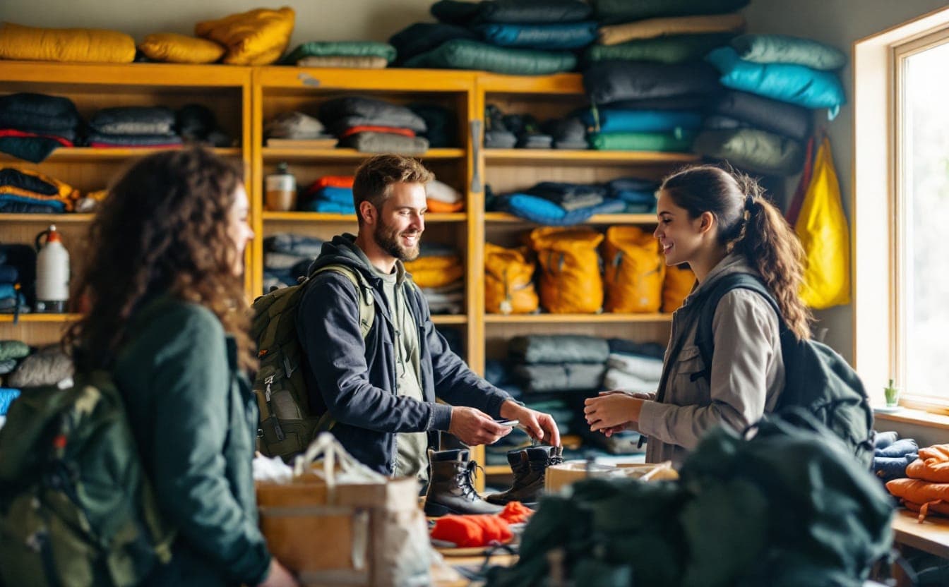
Entrance fees draw the most attention, and they are often the smallest cost. Gas, parking, food, a day of lost wages, water and sunscreen for four kids, shoes that can handle a dirt trail, a tent if the plan is to stay overnight: for a household on a tight budget, these add up fast. Fee waivers on their own tend to produce modest results when gear and transportation are left untouched.
Safety, real and perceived
Safety means different things to different people. For some it is traffic on the walk to the park, broken lighting, or a spot with a history of trouble. For others it is the experience of being watched, questioned or reported while doing something ordinary at a rural trailhead or a campground where they are the only Black or Latino family in sight. Writers and outdoor leaders of color have described this for years, and it shapes where people go, especially alone or after dark.
Feeling welcome
Signs only in English, staff who don't reflect the surrounding community, rules that seem designed to discourage large family gatherings, picnic areas with two tables when nearby families arrive with twenty relatives: each of these signals who a place was built for. The National Park Service's own periodic surveys of the American public have found that Black and Hispanic Americans report visiting national parks at lower rates than white Americans. Distance and cost explain part of that. Design and culture explain some of the rest.
Knowing what exists
Information is the quiet barrier. Many people don't know that the county runs a nature center fifteen minutes away, that a state park lends out gear for free, or that a particular trail is paved and works for a stroller or wheelchair. Park information often lives on websites written for people who already visit, in one language, assuming a car. A recommendation from someone you trust beats any brochure.
What agencies and groups are doing about it
Responses fall into a handful of broad types. Our page on models of diversity and access initiatives describes several of them in more depth.
Building and improving close-to-home parks. In 2017, TPL, the National Recreation and Park Association and the Urban Land Institute launched the 10-Minute Walk campaign, which asks mayors to commit to putting a quality park within a ten-minute walk of every resident. Commitments vary in how seriously they are funded, but they give residents a public benchmark to hold officials to. TPL's community schoolyards work takes a cheaper route: redesigning school grounds as green space and opening them to neighbors outside school hours, using land the public already owns.
Steering money toward park-poor places. The federal Land and Water Conservation Fund includes a competitive grant program, the Outdoor Recreation Legacy Partnership, aimed at parks in urban areas with few outdoor options and many low-income residents. The Great American Outdoors Act of 2020 made the fund's full $900 million in annual funding permanent, which ended years of uncertainty over whether Congress would pay for it in full. Several states have created their own programs. New Mexico set up an Outdoor Equity Fund in 2019 to pay for outdoor experiences for low-income young people, and California created an Outdoor Equity Grants Program the same year.
Cutting the cost of getting in. The federal Every Kid Outdoors program gives fourth graders and their families free entry to national parks and other federal lands for a school year. Many state and local agencies offer park passes that can be checked out from public libraries, free-entry days, and gear libraries.
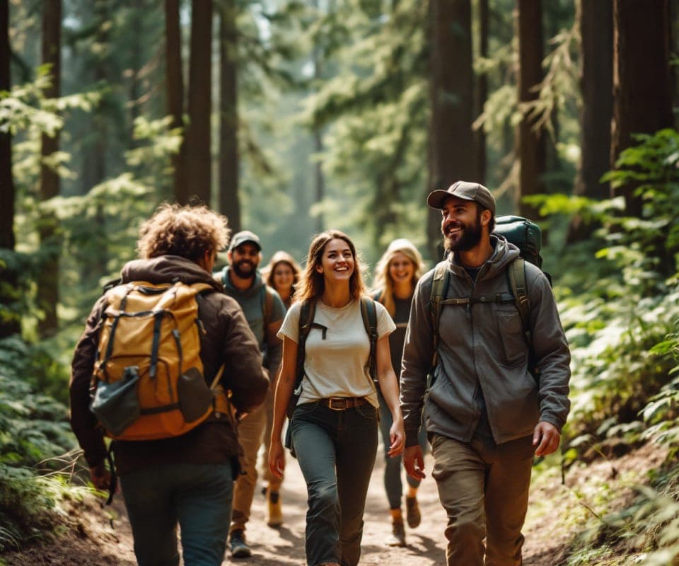
Outings run by and for the people who were left out. Groups such as Outdoor Afro, Latino Outdoors, GirlTrek and the Hispanic Access Foundation organize outings, train volunteer leaders, and press agencies to change how they work. Their trips tend to succeed because the leaders are trusted neighbors and the plans fit how participants actually live: weekends, kids in tow, carpools, plenty of food. Profiles of these and similar groups are on our organizations page.
Changing how agencies decide. Some park departments now use equity maps to rank capital projects, sending money first to neighborhoods with the least park space and the greatest need, rather than to whichever neighborhood fills the most seats at public meetings. That last habit is worth naming. For decades, park budgets have tended to follow the residents with the most time and confidence to lobby for them.
Checking your own neighborhood
You don't need mapping software to get a decent picture of where you live. A practical sequence:
- Start with the official numbers. If your city is among the 100 largest, look it up on Trust for Public Land's website and study the neighborhood maps rather than the overall rank. Note which areas fall outside the 10-minute walk.
- Walk it. Pick a block in one of those gaps and walk to the nearest park. Count the busy crossings, missing sidewalks and long blank walls. Time it at a child's pace.
- Try the bus. Find the nearest large natural area and plan a Saturday-morning trip there by transit. Note how long it takes and whether a return trip exists in the late afternoon.
- Look closely at the park. Is there shade, drinking water, an open restroom, lighting, room for a big family group? Are the signs in the languages spoken nearby?
- Read the budget. Most cities publish a capital plan. See where new park money is going and whether it lines up with the gaps you found.
- Ask people who don't go. The most useful information comes from neighbors who live near a park and rarely use it. Their reasons are usually specific and often fixable.
- Bring it to a public meeting. Park master plans and bond measures normally have comment periods. Specific observations, such as a missing crosswalk on a six-lane road or a restroom locked for two summers running, carry more weight than general complaints.
A gap that was built
The nature gap can sound like an accident of geography, as if some neighborhoods simply ended up farther from green space. Much of it was decided. Redlining steered investment away from Black and immigrant neighborhoods. Highways were routed through communities with little political power. Zoning placed industry beside homes in some parts of town and parkland in others, and park budgets followed influence. What was decided can be revisited with the same tools: budgets, maps, bus schedules, and attention to who sits at the table when they are drawn up.
Any agency, land trust or outdoor group can safely assume a gap exists somewhere in its area. The more useful question is which piece of that gap it is in a position to close first, and who it needs to ask before deciding.
Gear links may earn us a commission. As an Amazon Associate I earn from qualifying purchases.
Pack list
- Columbia Watertight II rain jacket (men's) about 8 ozA light waterproof shell that packs small; the layer that saves a cold, wet day.$70.00 Amazon price, as of Oct 22, 2026, 4:26 PM UTCSee on Amazon
- SKYSPER 20-liter daypack 20 LA light, packable 20-liter bag with bottle pockets; plenty for a day on the trail.$43.99 Amazon price, as of Oct 22, 2026, 4:26 PM UTCSee on Amazon
- Sawyer Squeeze water filter about 3 ozScrews onto a pouch or bottle and filters stream water against bacteria and protozoa.$45.95 Amazon price, as of Oct 22, 2026, 4:26 PM UTCSee on Amazon
- Muck Boot waterproof bootsPull-on rubber and neoprene boots for flooded trails, wetlands and muddy garden days.Shop at Muck Boot
Product prices and availability are accurate as of the date/time indicated and are subject to change.
Next: try the Hiking Time Calculator or browse the full Pack list.